
There’s something quietly profound about travelling on foot. No engines. No rush. Just the steady rhythm of your own movement, the sound of your own breath and the landscape unfolding one step at a time.
Since returning to the UK from four years in Saudi Arabia, I’ve come to deeply appreciate just how walkable this country is. From coastlines to countryside, from cobblestone pavements to chalk paths, the UK is laced with trails that don’t just lead somewhere, they lead through history, green hills and forests that have seen it all. These footpaths are steeped in a timeless wisdom that people are meant to move, to roam, to be outdoors. The South Downs Way is a 100-mile national trail from Winchester to Eastbourne, winding along chalk ridge lines that have carried human footsteps for over 6,000 years.
Last weekend, I took it on — solo, over four days, part hiking, part running. With a summer of trail adventures ahead, this felt like a necessary test. Not just of my legs, but of my mindset. Could I carry myself that far, on foot, without needing anything more than a backpack and the ecosystem of English country pubs and farms to stay at along the route.
Day -1: Classic Chaos
This wouldn’t be a true adventure without a bit of last-minute disarray. After dinner with friends in London, I missed my train home by only 3 minutes and was left to wait in London Waterloo for the next train going over my packing list in my head. at this point, I hadn’t even have my bag packed. When I got home at 11pm I spent the first 20 minutes franticly rummaging for my old Osprey pack from Nepal. When I finally found it I noticed the waist straps. Missing. Not ideal. My only backup? A hiking pack passed on by my friend Josh. It was bulkier, heavier, but at least it wouldn’t flap around when I ran.
I packed the bag as carefully as I could; clothes, DJI Mini III, which I should’ve tested before hand, my first aid kit, water bladder, electrolytes. I was as ready as I’d ever be. Now time to get some sleep.
N.B. I should have tested the drone before because it turns out I needed WiFi to register the drone and download the software. Until I left Saudi I’d had the same drone for years and completely forgotten about the set up procedure requiring internet.
Day 1: Winchester → Cocking (60km | 1,362m elevation)
I caught the train from Mum and Dad’s in Fareham to Winchester — the same journey I used to take as a teenager heading to Peter Symonds College. As I walked from the station toward King Alfred’s statue, I was already on a different kind of pilgrimage — but the previous decade, my 18 year old self wasn’t far behind. I passed through familiar streets that made me grin: post-rugby pints at The Chinese, late-night debates about A-level psychology or who should be in the rugby team in Spoons, and dancing in Pitcher & Piano until we missed the last train home.

Stood beneath the statue of King Alfred I was pulled into a kind of historical daydream — thinking of Netflix series The Last Kingdom, and the old paths between Wessex and Mercia. These were not just scenic ridgelines, but routes that have been trodden by farmers, messengers, traders, and soldiers across centuries.
As I set off from the Bishop on the bridge I mumbled in a quiet whisper “I’m off on an adventure” just like Bilbo in the Hobbit just without the big hairy feet.
The first day was brutal — 60km with a 12kg pack*. I seriously underestimated how much the extra weight would sap my energy and slow me down. But the trail was stunning: fields, farms, chalk ridges.
*I didn’t know the weight of the pack until after I got home from the run I just knew it was heavy.
Just after I crossed my first main road, around 10km I stumbled across Holden Farm Café — an unexpected and very welcome stop. It was a reminder that this wasn’t a race. It was a journey and I could stop wherever and whenever I wanted. A flat white and home made flapjack later and I set off from this perfect little rest stop.
As I arrived at Exxon I opened the pack of jelly babies my dad had given me and took a breather. 5km or so later I stumbled across West Meon Fishery at around 25km a beautiful spot on the river and a perfect chance to refill my water bottle.
Then came the real climbs. I found myself at Buster Hill climb about 30km into the run and after crossing the A3 hiked up through the woodland of Queen Elizabeth Country Park passing through the bursts of sunlight that snuck between the foliage covering the tree tops.
As I left QECP behind and ran toward Harting Down along a dramatic stretch of ridge line my spirits were lifted. Then I hit Harting Down hill and the elevation and the weather left me cooked.
I finally arrived at Manor Farm in Cocking around 4pm but not before filling up my empty water bottle and bladder at the Cadence coffee shop tap. I arrived at my accommodation for the night, a cosy shepherd’s hut with access to a shower block. After a well deserved shower I hobbled into The Blue Bell Pub — which doubles as the local shop — for a well-earned pint and classic fish and chips.
Day 2: Cocking → Steyning (39km | 800m elevation)
I Woke up sore. The backpack’s metal frame had dug into my lower back all day. I pulled the metal bars out, tightened the straps, inhaled a bowl of porridge, and got moving hoping the pain in my lower back would disappear.
The morning drizzle clung to me like only British rain can. Early on, I crossed the River Arun at Amberley, and passed by Cadence Clubhouse — though I didn’t linger long in the wet.
The middle of the day was tough. Fewer places to stop. Long, grey hills. But the Wiston Estate at 32km offered some visual respite. By 38km I hit Steyning, refilled my bottle at a public fountain, and then slumped in a heap by the bus stop just after the Fodder Box Café.
I caught the bus to the Castle Inn Hotel in Bramber a classic pub with rooms where I checked in and made my way to my room up one flight of stairs, then down a small set of stairs around the winding corridors with uneven floors all the way to my room and climbed into the shower.
After a long day on the trail a warm shower makes you feel human again.
The appreciation I have for the invention of a shower was no more real than at that moment. Stepping in slow — not just because my quads were wrecked and my calves sore, but because the water was sharp against the raw patches rubbed by my bag and clothes in the rain. The trail dust ran in muddy streaks down my legs, and I could taste the salt on my lips as the sweat dried on my skin finally dissolved. The mix of mud and salt crystals ran down the drain as the sting of nettles eased. I wish I could’ve stayed there in the shower forever but I was desperate to make it to lunch before the pub closed the kitchen.
Day 3: Steyning → Southease (36km | 1000m elevation)
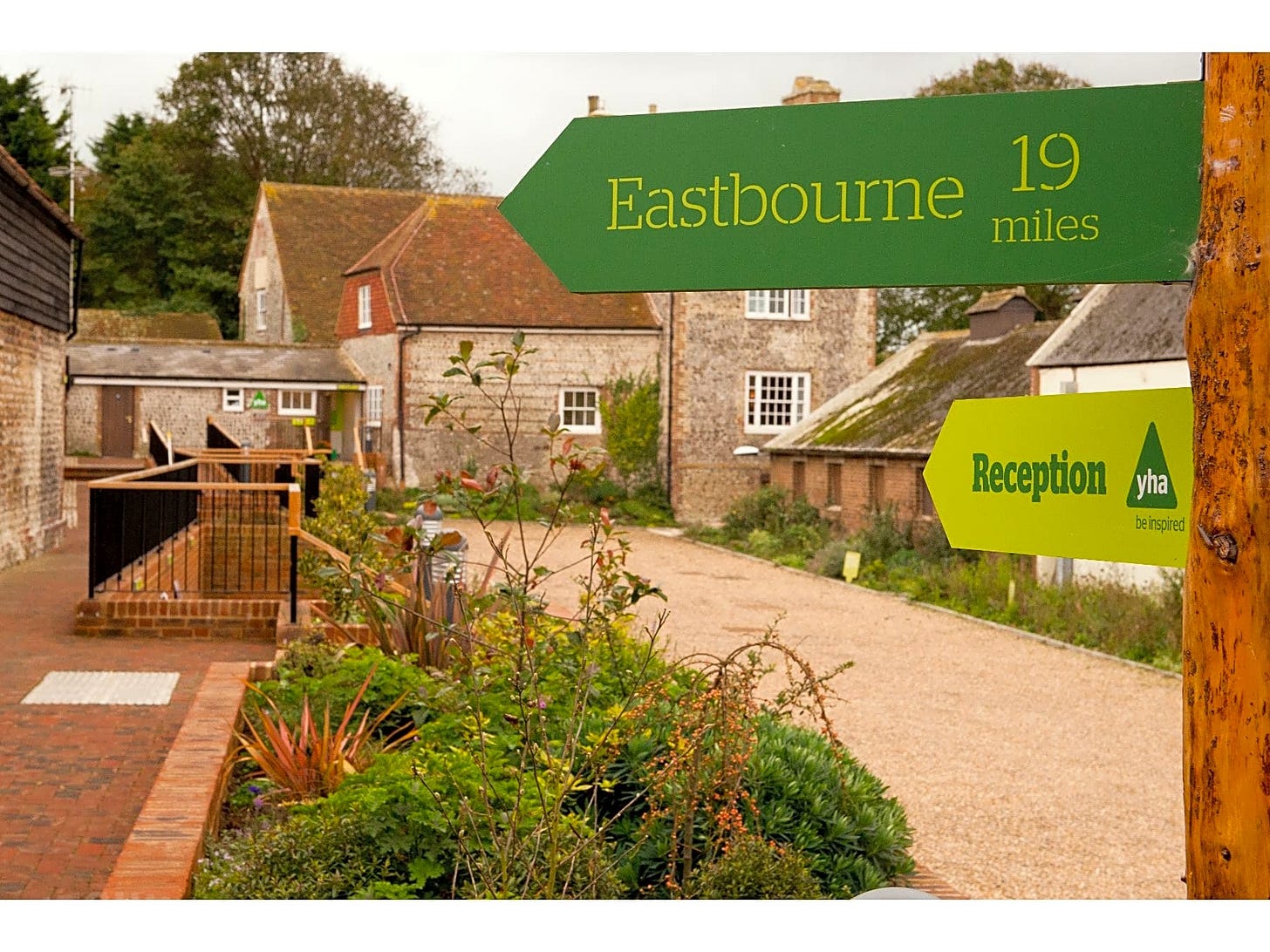
After a good nights sleep and a cooked breakfast I ambled along the river back to the road crossing after the Upper Beeding drinking water stop and then began to jog up the hill toward the YHA Truleigh Hill.
The route took me over Devil’s Dyke, past the Fulking Escarpment, which I had to do a double take at. You tell me what you read first:
On my third day I felt really strong passing along high ridge lines with sweeping views. There was also a trail running competition taking place and seeing other people running along the trail spurred me on. At every checkpoint I was asked for my bib number. At 28km I stopped at Housedean Farm to refill my water and have a coffee and a flapjack. I was feeling really good on the trail today and considered just carrying on to Eastbourne. But, at lunch time I arrived in Southease at the YHA South Downs, a restored farmhouse right on the trail and called it a day. Dinner was served on-site — an dubiously undercooked pizza and curly fries, but after 90 miles in the legs, I wasn’t picky.
That evening whilst I washing the wifi in the café I recognised one of the people checking in, a friend I used to play rugby with five years prior so I joined him, his fiancé and their friends for a drink. It was nice to be sociable after spending 48 hours in my own head.
Day 4: Southease → Eastbourne (30km | 1054m elevation)
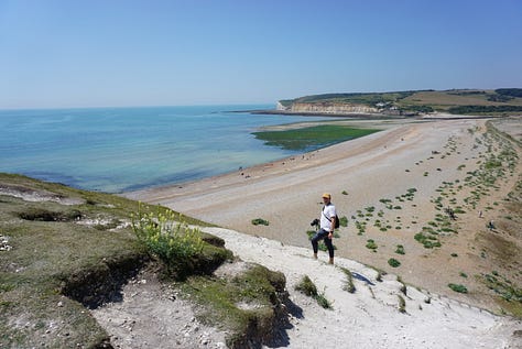
The last day of the adventure was hard. I wish I could have appreciated it but the exhasution had settled in my mind. But I have to say, the final stretch was nothing short of epic. After an early climb to Firle Beacon, I ascended up over the stairs that pass through Friston Forrest where at 16km I was finally able to see the beach and Exceat before embarking on the final part of the trail along the Seven Sisters.
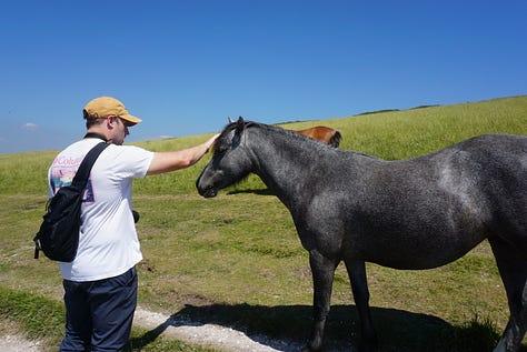
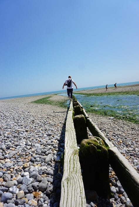
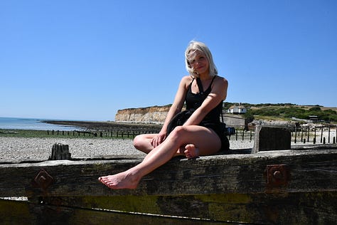
On this last day the wind was blowing hard and cold and as I ascended past the dozing horses at the mouth of cuckmere haven. I climbed up the cliffside and was reminded of a trip Karlea and I took on a sunnier day a few years earlier in July 2022.
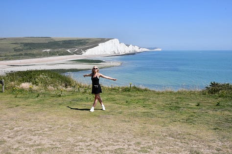
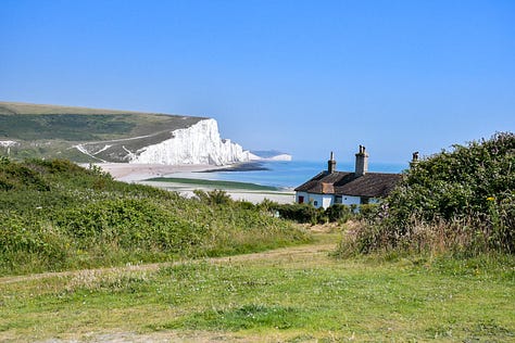
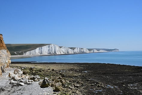
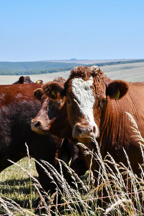
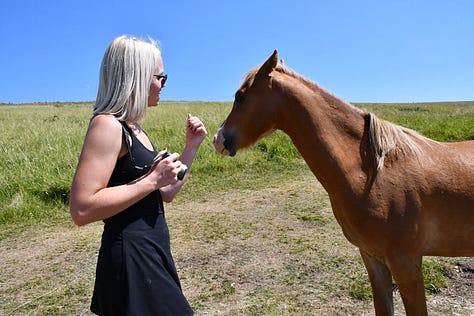
Half way along the seven sisters I found myself at Birling Gap where I slumped in a chair and in a coffee shop and consdiered getting a bus into Eastbourne. My knee was now hurting and my run had become more of a hike. But I pulled back on my rucksack that was sopping wet and began the ascent toward Belle Tout Lighthouse. As I passed this first lighthouse I looked down to Beachy Head.

Final Thoughts
If you are thinking about visiting the South Downs, doing some hill training or just looking for some beautiful trail runs I highly recommend it. You can find all the routes on All Trails.
Whilst on the path I listened to a lot of podcasts and music and in one of the podcasts Jimmy Carr referenced a quote that stuck with me.
"We don't stop playing because we grow old; we grow old because we stop playing"
- George Bernard Shaw
Keep playing, go on an adventure.
The South Downs Way taught me that 100 miles isn’t just about fitness although it is definitely needed. It’s about persistence, presence, and trusting your feet. I didn’t set any records. I didn’t have perfect gear. But I finished. On foot. That’s all that matters, I arrived at my destination.


Fascinating as ever Alex - you are certainly a busy (and fit) boy!